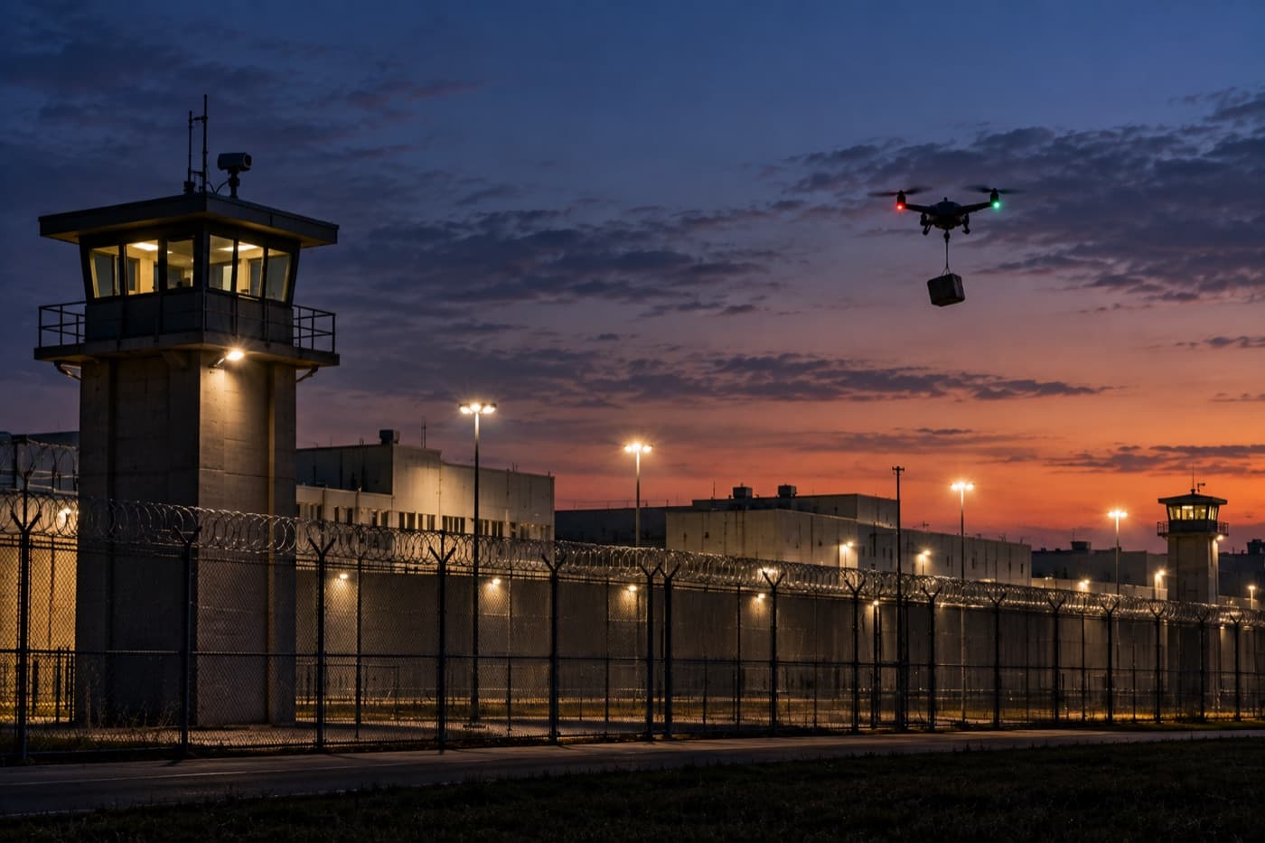
Correctional facilitiesContraband drops, logged
Our passive sensors detect, track and identify drones, aircraft and other objects. Networked together, they produce a real-time 3D picture of low-altitude airspace.

Commercial aviation is monitored through radar and transponders. Most drones and other low-altitude objects are not. Extending persistent coverage beyond major airports and military sites remains difficult and expensive.
Drones and other objects can enter controlled or sensitive airspace without broadcasting their identity or position.
Conventional radar and RF systems can require fixed infrastructure, specialist installation and substantial budgets.
Operators need identity, position, altitude, speed and direction—not simply a warning that something may be nearby.
It detects, tracks and identifies objects overhead, processes observations locally and can operate away from fixed power and connectivity.
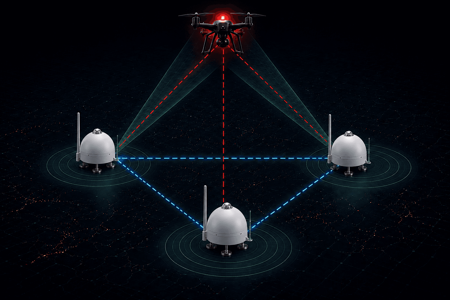
Each node contributes its local tracks. When two or more detect the same object, the network combines those views to calculate its position, altitude, speed and direction.
One node detects, tracks and classifies its own sky.
Two views resolve range, altitude and motion.
Each added node improves coverage and confidence.
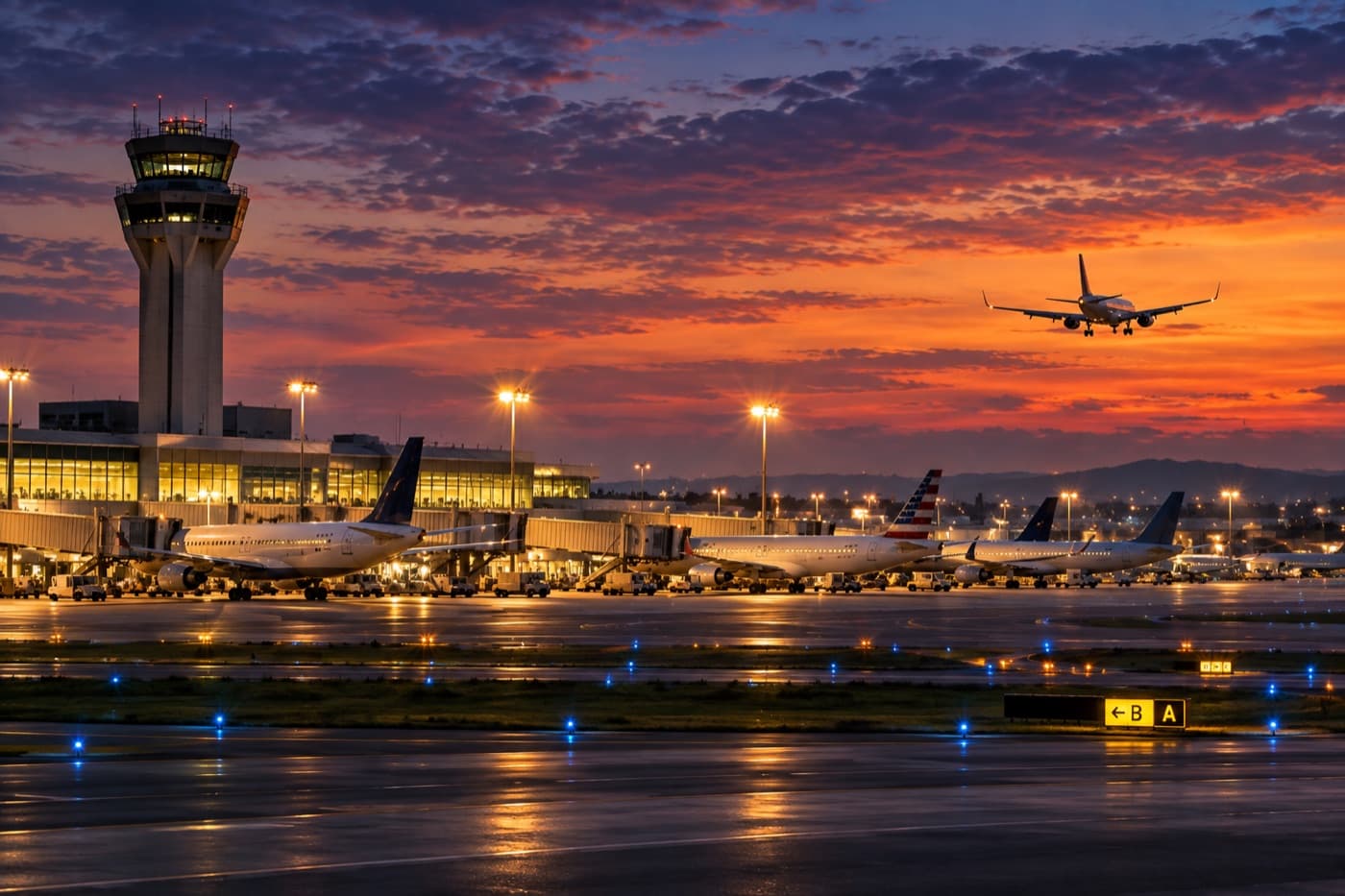
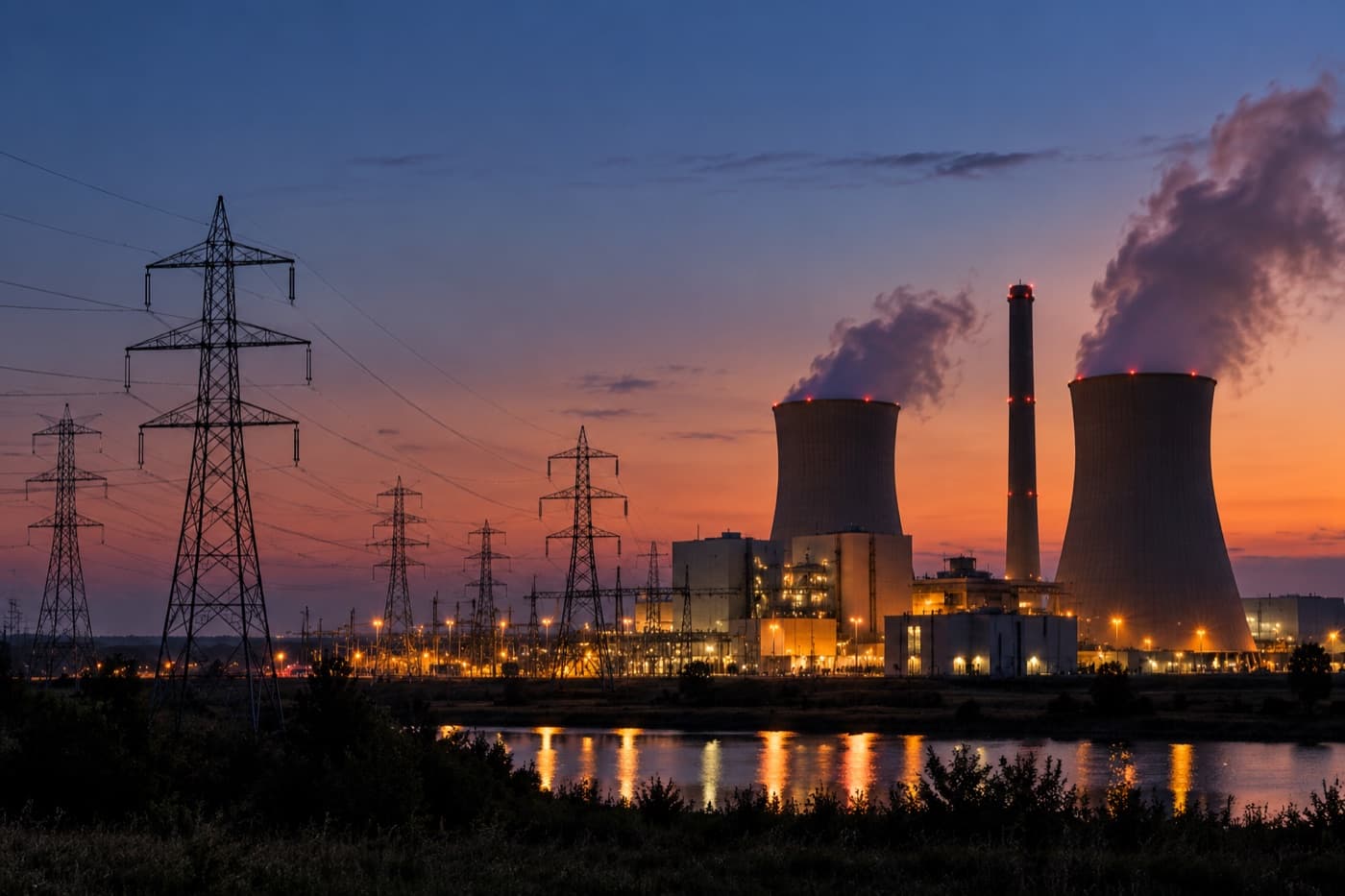
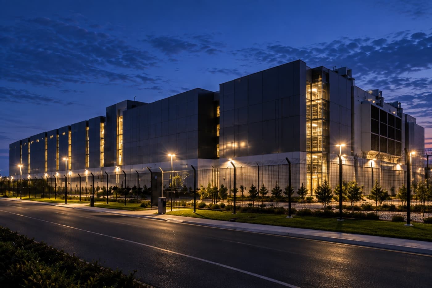
Anywhere you need to monitor airspace and detect or track flying objects: airports, critical infrastructure, large-scale events, correctional facilities, and other large areas of land. Our system is low-cost and much simpler to deploy than conventional radar.







Join the waitlist to hear when ordering opens.